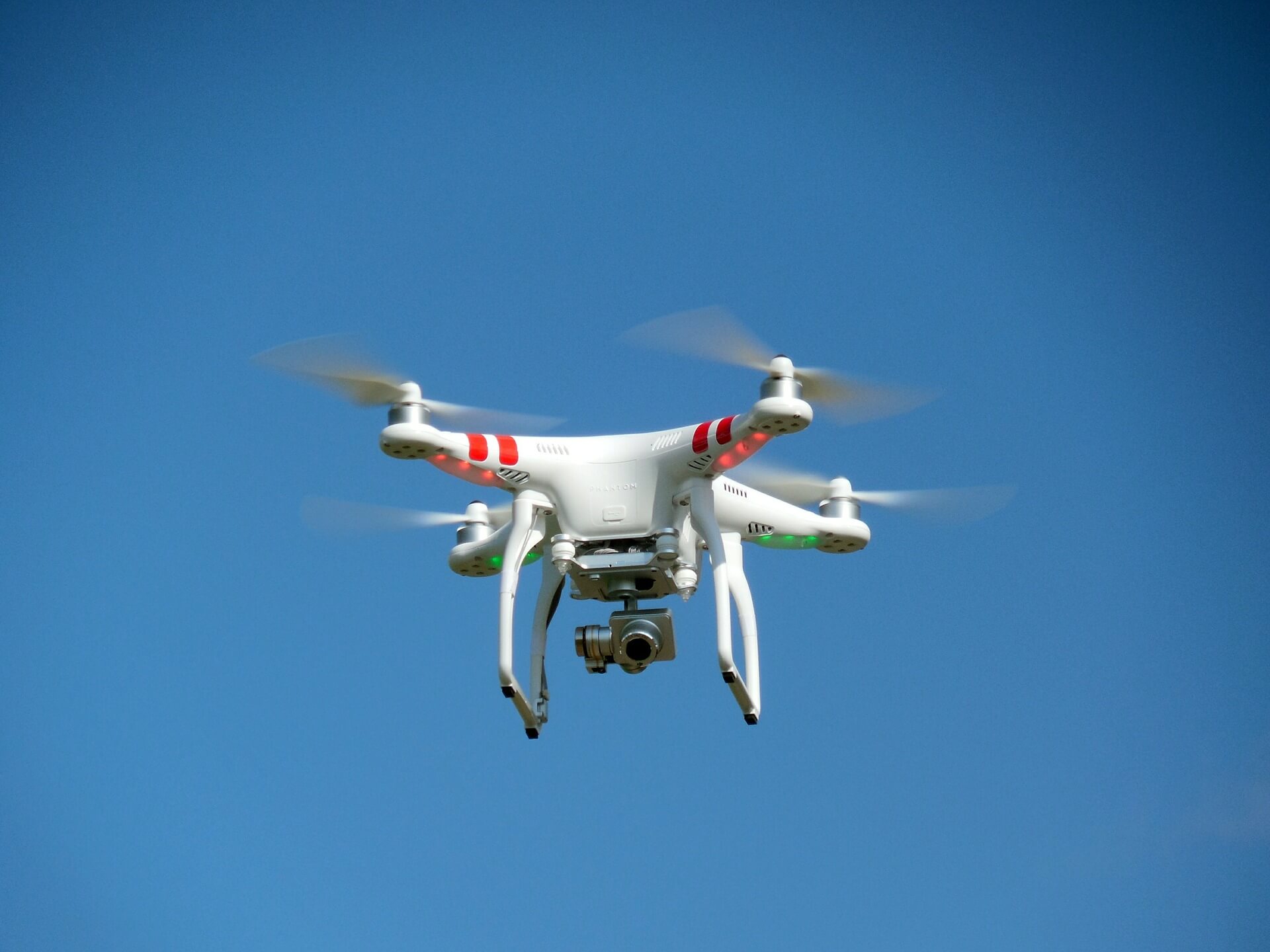
WebODM is a free and open source software for processing drone images. It generates point clouds, orthophotos, elevation models and 3D models from aerial images. We started the project on August 2016 soon after discovering OpenDroneMap. The fact that OpenDroneMap was command line only and that installation was a bit out of range for average […]

